


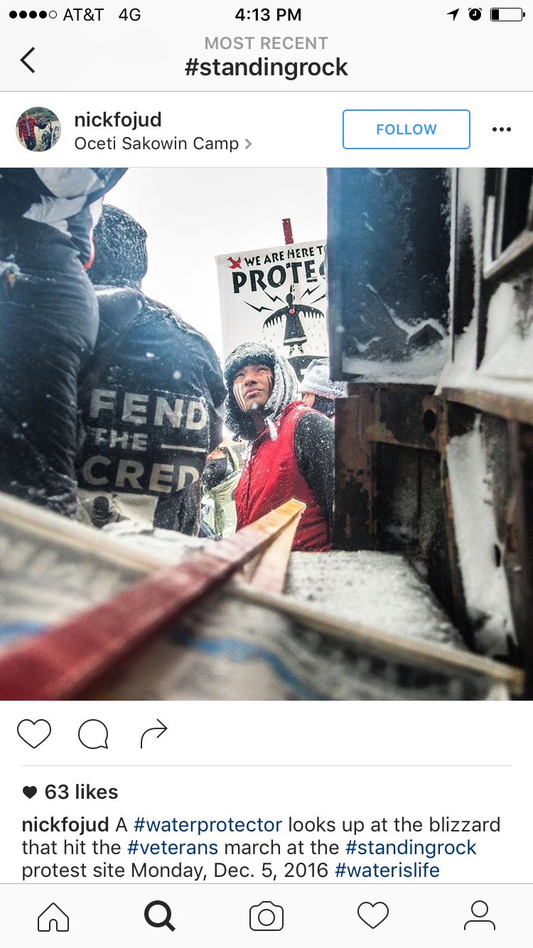
This is southern North Dakota, where the Missouri River winds south past Bismarck into the Sioux Tribe Standing Rock Reservation. It is also the front line of the Native American fight for sovereignty, expressed through an effort to halt construction of the Dakota Access Pipeline. The pipeline, a project of Energy Transfer Crude Oil Company, LLC, is intended to transport crude oil southeast from the Bakken oil field of North Dakota to a refinery in Patoka, Illinois, just east of St. Louis. Roughly 30 inches in diameter, the 1,1720-mile pipeline would carry 470,000 barrels per day. Its estimated worth is $3.8 billion dollars. DAPL was originally routed to cross the Missouri River north of Bismarck. When the US Army Corps of Engineers deemed the pipeline a threat to Bismarck's drinking water, the pipeline was rerouted to cross the Missouri River north of Standing Rock. The construction path for the project cuts through land taken back by the US Government through broken treaties. It cuts through Sioux burial grounds and sacred land.
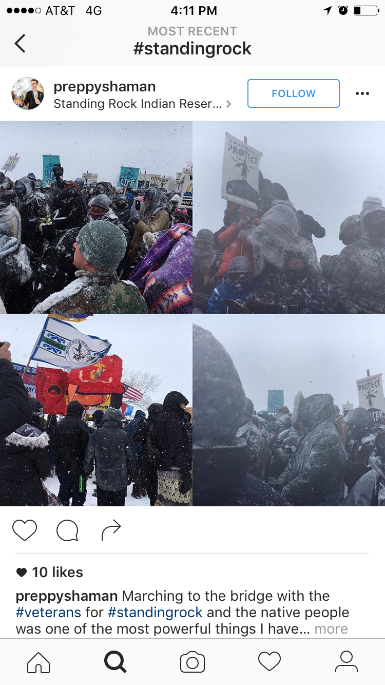
These are the Sacred Stone, Oceti Sakowin, Rosebud and Red Warrior protest camps. As of December 2 the sprawling camps were collectively home to an estimated 6,000 people. The camp is funded largely through donations from social media.
The camps are situated in a valley, where reception is spotty. The only place to catch reliable service is on small rise on the west side of Oceti Sakowin. Here, cell service is key to making the movement visible. This knoll where people share their documentation with the world is known as "Facebook Hill."
In most reservations, cell service is limited. This is the closest cell tower to the DAPL protest camps. Cell service waves travel horizontally across the atmosphere, and are too high for the camps in the valley to reach. But Facebook Hill is just high up enough for anyone standing on it to catch a portion of the cell service. Camp organizers actively work to keep and amplify the stream of cell service from this tower.
protest camp and the point where DAPL would submerge below the Missouri river, and as such is treated as a militarized barricade by Energy Transfer Partners mercenaries. On Thanksgiving Day, over 200,000 people watched on Facebook Live as DAPL protesters attempted a takeover of Turtle Island. Indigenous Rising Media broadcasted the drone footage from Facebook Hill.
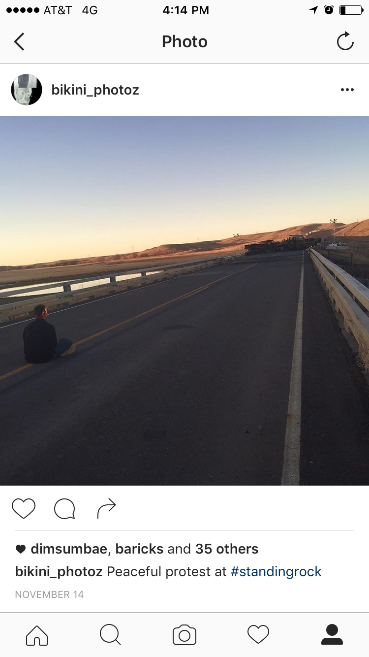
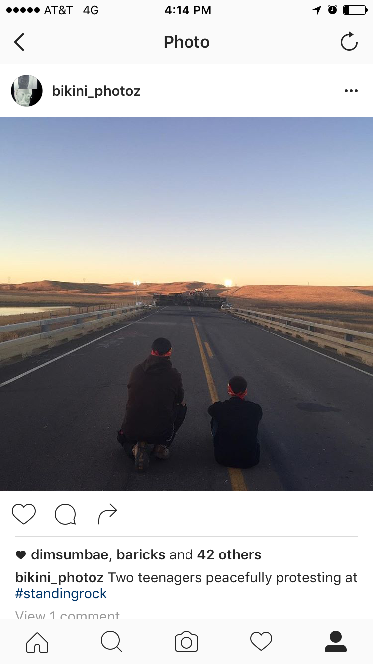
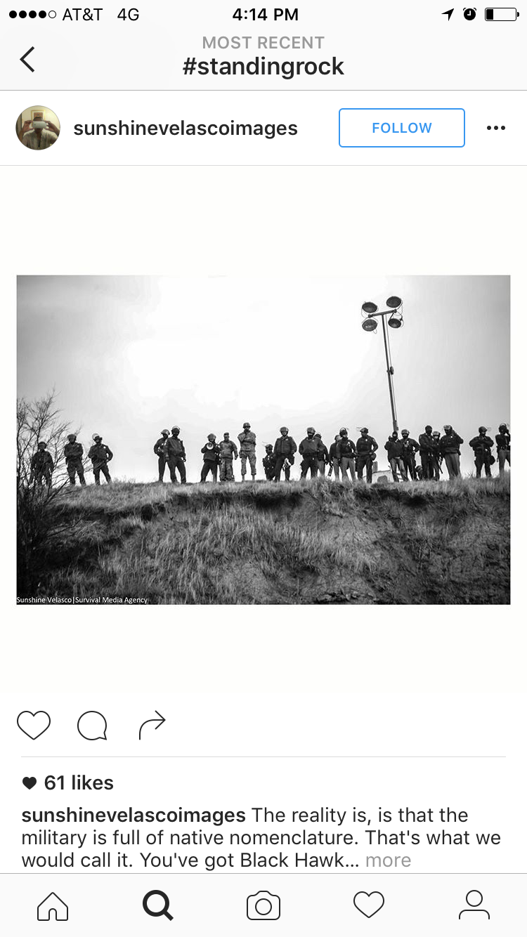
DAPL is only a mile north of the protest camp via Route 186. The route along the way crosses Backwater Bridge, which the military, police and Energy Transfers mercenaries have transformed into a militarized barricade. The bridge is a designated arrest zone, so protests both active and peaceful take place there. This late November video, which depicts protesters being hosed by the police with water cannons in 20 degree weather, was broadcasted live on Facebook and repeated by national media outlets to a shocked public.
Earlier this month the Army Corps of Engineers declined a building permit for DAPL to cross the Missouri river at its current route. The Standing Rock reservation considers this a speed bump, and thousands continue to camp. Their dispatches continue.